Farm road to Buckie's Mill
Introduction
The photograph on this page of Farm road to Buckie's Mill by Steven Brown as part of the Geograph project.
The Geograph project started in 2005 with the aim of publishing, organising and preserving representative images for every square kilometre of Great Britain, Ireland and the Isle of Man.

There are currently over 7.5m images from over 14,400 individuals and you can help contribute to the project by visiting https://www.geograph.org.uk
Farm road to Buckie's Mill
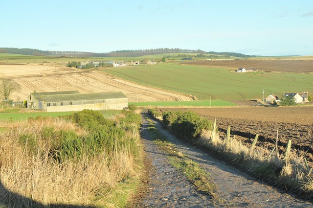
Image: © Steven Brown Taken: 9 Jan 2013
Buckie's Mill itself is the house at extreme right. The long steading on the left conceals the house occupied by the miller at the totally separate Mill of Buckie, which stood down on the river bank.
Images are licensed for reuse under creativecommons.org/licenses/by-sa/2.0
Image Location
Latitude
56.940193
Longitude
-2.357436