Chandos Square
Introduction
The photograph on this page of Chandos Square by Peter Turner as part of the Geograph project.
The Geograph project started in 2005 with the aim of publishing, organising and preserving representative images for every square kilometre of Great Britain, Ireland and the Isle of Man.

There are currently over 7.5m images from over 14,400 individuals and you can help contribute to the project by visiting https://www.geograph.org.uk
Chandos Square
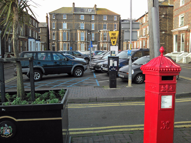
Image: © Peter Turner Taken: 26 Dec 2012
Convenient parking, a victorian hexagon postbox and at the rear the blue-plaqued house of Oliver Postgate (behind the yellow sign).
Images are licensed for reuse under creativecommons.org/licenses/by-sa/2.0
Image Location
Latitude
51.356964
Longitude
1.441314