Vale of Leven District Angling Club
Introduction
The photograph on this page of Vale of Leven District Angling Club by Lairich Rig as part of the Geograph project.
The Geograph project started in 2005 with the aim of publishing, organising and preserving representative images for every square kilometre of Great Britain, Ireland and the Isle of Man.

There are currently over 7.5m images from over 14,400 individuals and you can help contribute to the project by visiting https://www.geograph.org.uk
Vale of Leven District Angling Club
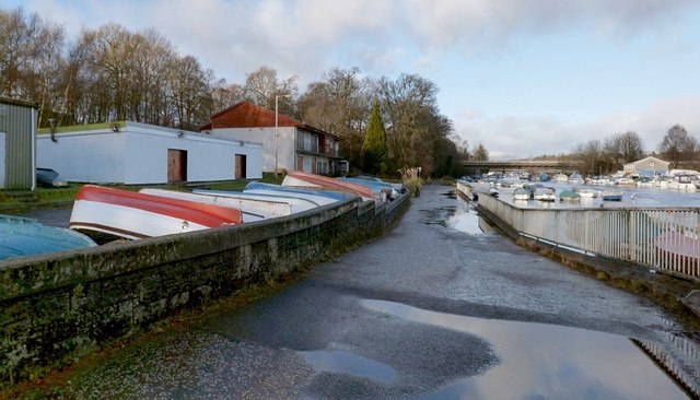
Image: © Lairich Rig Taken: 1 Jan 2013
The club's buildings are on the left. On the right is a cycle path / footpath that follows the western side of the River Leven. For the bridge visible ahead, see Image
Images are licensed for reuse under creativecommons.org/licenses/by-sa/2.0
Image Location
Latitude
55.999944
Longitude
-4.580238