Churchdown Hill [Chosen Hill] [Tinker's Hill]
Introduction
The photograph on this page of Churchdown Hill [Chosen Hill] [Tinker's Hill] by Rude Health as part of the Geograph project.
The Geograph project started in 2005 with the aim of publishing, organising and preserving representative images for every square kilometre of Great Britain, Ireland and the Isle of Man.

There are currently over 7.5m images from over 14,400 individuals and you can help contribute to the project by visiting https://www.geograph.org.uk
Churchdown Hill [Chosen Hill] [Tinker's Hill]
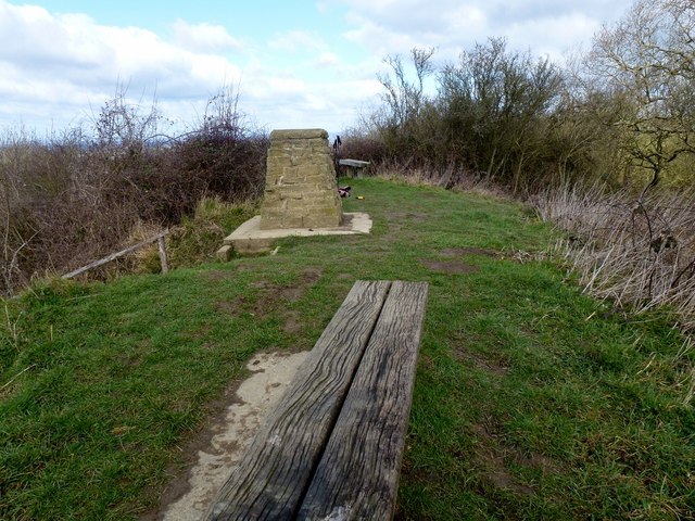
Image: © Rude Health Taken: 5 Mar 2012
Two ways to get to the true summit one choice is to be cheeky and go into the grounds of Chosen cottage. the other is the muddy bank at the back. Did both. Bagged trig and church. Name: Churchdown Hill [Chosen Hill] [Tinker's Hill] Hill number: 5399 Height: 155m / 509ft Area: 39: Central and Eastern England Class: Hu Grid ref: SO880188 (est) Drop: 102m Col: 53m SO893186
Images are licensed for reuse under creativecommons.org/licenses/by-sa/2.0
Image Location


Leaflet Map data © OpenStreetMap
Latitude
51.868005
Longitude
-2.175832