West end of Bagnall Road, Cinderhill
Introduction
The photograph on this page of West end of Bagnall Road, Cinderhill by Richard Vince as part of the Geograph project.
The Geograph project started in 2005 with the aim of publishing, organising and preserving representative images for every square kilometre of Great Britain, Ireland and the Isle of Man.

There are currently over 7.5m images from over 14,400 individuals and you can help contribute to the project by visiting https://www.geograph.org.uk
West end of Bagnall Road, Cinderhill
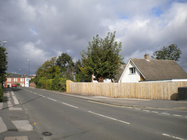
Image: © Richard Vince Taken: 29 Sep 2012
Looking west from its junction with Tricornia Drive (extreme right), Bagnall Road rises to cross the Phoenix Park branch of the Nottingham Express Transit tramway (formerly a mineral railway to Babbington colliery). The red brick buildings on the left front into Cinderhill Road, which Bagnall Road meets at its west end.
Images are licensed for reuse under creativecommons.org/licenses/by-sa/2.0
Image Location
Latitude
52.988657
Longitude
-1.199266