Birdlip Hill
Introduction
The photograph on this page of Birdlip Hill by Rude Health as part of the Geograph project.
The Geograph project started in 2005 with the aim of publishing, organising and preserving representative images for every square kilometre of Great Britain, Ireland and the Isle of Man.

There are currently over 7.5m images from over 14,400 individuals and you can help contribute to the project by visiting https://www.geograph.org.uk
Birdlip Hill
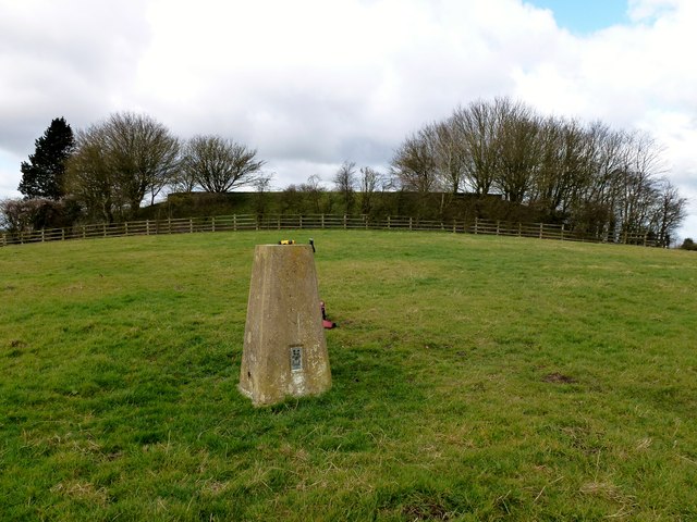
Image: © Rude Health Taken: 5 Mar 2012
Trig quickly bagged then over damaged wooden fence to walk on grass roof of covered reservoir with no problem. Name: Birdlip Hill Hill number: 5380 Height: 303m / 994ft Area: 39: Central and Eastern England Class: Hu Grid ref: SO 92503 14124 Summit feature: covered reservoir (accessible) West of trig point Drop: 120m Col: 183m SP009203
Images are licensed for reuse under creativecommons.org/licenses/by-sa/2.0
Image Location
Latitude
51.825469
Longitude
-2.109356