Scio Ride, Putney Heath
Introduction
The photograph on this page of Scio Ride, Putney Heath by David Anstiss as part of the Geograph project.
The Geograph project started in 2005 with the aim of publishing, organising and preserving representative images for every square kilometre of Great Britain, Ireland and the Isle of Man.

There are currently over 7.5m images from over 14,400 individuals and you can help contribute to the project by visiting https://www.geograph.org.uk
Scio Ride, Putney Heath
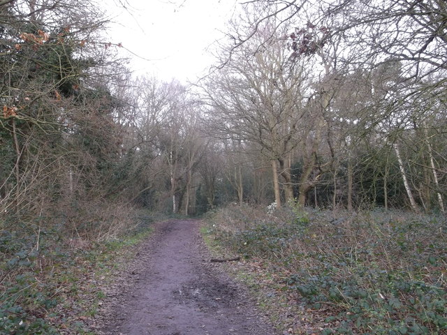
Image: © David Anstiss Taken: 30 Dec 2012
This track is a former horse riding track leading towards Scio Pond and onwards to Putney Heath (road).
Images are licensed for reuse under creativecommons.org/licenses/by-sa/2.0
Image Location
Latitude
51.444929
Longitude
-0.233949