Taff Trail between Cilfynydd and Pontypridd
Introduction
The photograph on this page of Taff Trail between Cilfynydd and Pontypridd by John Light as part of the Geograph project.
The Geograph project started in 2005 with the aim of publishing, organising and preserving representative images for every square kilometre of Great Britain, Ireland and the Isle of Man.

There are currently over 7.5m images from over 14,400 individuals and you can help contribute to the project by visiting https://www.geograph.org.uk
Taff Trail between Cilfynydd and Pontypridd
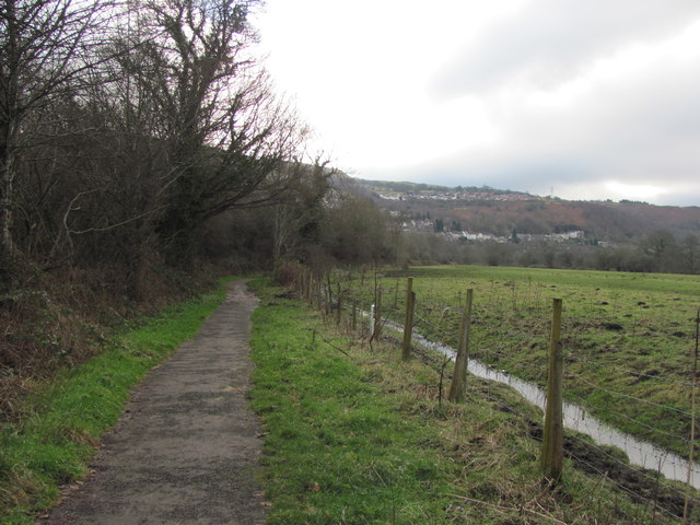
Image: © John Light Taken: 4 Jan 2013
A similar view to Image Note the new addition - the drainage ditch at the side of the field. This section of the trail was frequently under water and the ditch has been constructed to solve this problem.
Images are licensed for reuse under creativecommons.org/licenses/by-sa/2.0
Image Location
Latitude
51.624625
Longitude
-3.326517