Lansbury Avenue
Introduction
The photograph on this page of Lansbury Avenue by Alan Walker as part of the Geograph project.
The Geograph project started in 2005 with the aim of publishing, organising and preserving representative images for every square kilometre of Great Britain, Ireland and the Isle of Man.

There are currently over 7.5m images from over 14,400 individuals and you can help contribute to the project by visiting https://www.geograph.org.uk
Lansbury Avenue
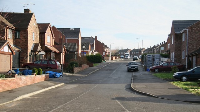
Image: © Alan Walker Taken: 1 Feb 2007
The photograph shows Lansbury Avenue and was taken from its northern (cul-de-sac) end. To the right is an Image to a field and footpath. Behind the viewpoint and to the left of the photograph is the exit from a Image that carries the infant River Rother under the village from the eastern side. To see a photograph of Lansbury Avenue taken from a few metres ahead of this viewpoint, but looking back in the opposite (northerly) direction, click here Image To see a more southerly (ahead) photograph of Lansbury Avenue, but looking back toward this viewpoint, click here Image
Images are licensed for reuse under creativecommons.org/licenses/by-sa/2.0
Image Location
Latitude
53.154906
Longitude
-1.370095