Demolished area of RAF Uxbridge
Introduction
The photograph on this page of Demolished area of RAF Uxbridge by Ian Harrison as part of the Geograph project.
The Geograph project started in 2005 with the aim of publishing, organising and preserving representative images for every square kilometre of Great Britain, Ireland and the Isle of Man.

There are currently over 7.5m images from over 14,400 individuals and you can help contribute to the project by visiting https://www.geograph.org.uk
Demolished area of RAF Uxbridge
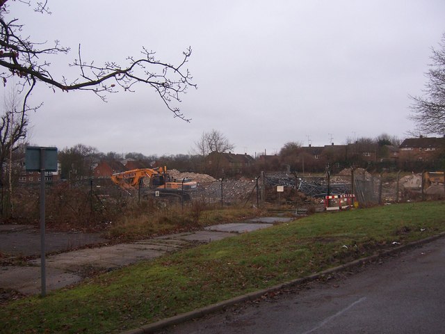
Image: © Ian Harrison Taken: 6 Jan 2013
This site included the building known as "The Pub", other buildings associated with the former operations of US Intelligence and a communications tower. All have been demolished since the previous photograph (Image) to make way for a number of houses.
Images are licensed for reuse under creativecommons.org/licenses/by-sa/2.0
Image Location
Latitude
51.544392
Longitude
-0.464451