Track to Tarry
Introduction
The photograph on this page of Track to Tarry by Russel Wills as part of the Geograph project.
The Geograph project started in 2005 with the aim of publishing, organising and preserving representative images for every square kilometre of Great Britain, Ireland and the Isle of Man.

There are currently over 7.5m images from over 14,400 individuals and you can help contribute to the project by visiting https://www.geograph.org.uk
Track to Tarry
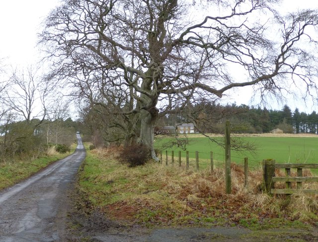
Image: © Russel Wills Taken: 5 Jan 2013
Coal used to be mined here. There is still a shaft at Tarry, which derived its name from the coal which contained 60-65% tar. There is now only one house at Tarry where there used to be about a dozen.
Images are licensed for reuse under creativecommons.org/licenses/by-sa/2.0
Image Location
Latitude
55.477839
Longitude
-1.828317