A corner of the Parish of the Ascension Burial Ground
Introduction
The photograph on this page of A corner of the Parish of the Ascension Burial Ground by John Sutton as part of the Geograph project.
The Geograph project started in 2005 with the aim of publishing, organising and preserving representative images for every square kilometre of Great Britain, Ireland and the Isle of Man.

There are currently over 7.5m images from over 14,400 individuals and you can help contribute to the project by visiting https://www.geograph.org.uk
A corner of the Parish of the Ascension Burial Ground
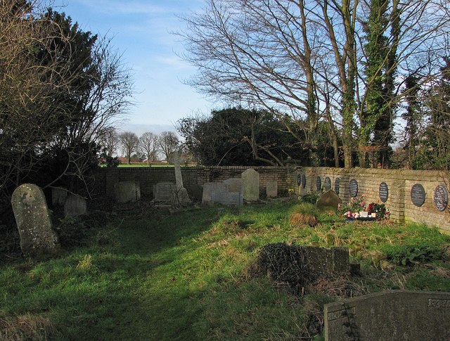
Image: © John Sutton Taken: 4 Jan 2013
This secluded cemetery off Huntingdon Road was formerly St Giles' and St Peter's Burial Ground. The fields beyond the wall are due to be built on as part of the University's North West Cambridge Development.
Images are licensed for reuse under creativecommons.org/licenses/by-sa/2.0
Image Location
Latitude
52.217538
Longitude
0.099715