Peniel Chapel 2
Introduction
The photograph on this page of Peniel Chapel 2 by Jonathan Wilkins as part of the Geograph project.
The Geograph project started in 2005 with the aim of publishing, organising and preserving representative images for every square kilometre of Great Britain, Ireland and the Isle of Man.

There are currently over 7.5m images from over 14,400 individuals and you can help contribute to the project by visiting https://www.geograph.org.uk
Peniel Chapel 2
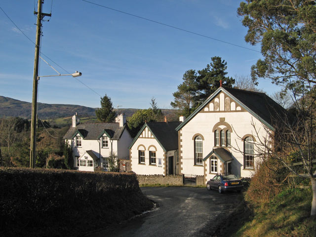
Image: © Jonathan Wilkins Taken: 4 Jan 2013
Putting the chapel into the context of the landscape, with the very steep Ffordd Cae Forys turning a hairpin bend as it descends to Graig and the distant slope of Tal y Fan on the opposite side of the Conwy Valley.
Images are licensed for reuse under creativecommons.org/licenses/by-sa/2.0
Image Location
Latitude
53.230207
Longitude
-3.791373