
Gallt y Goedhwch
Introduction
The photograph on this page of Gallt y Goedhwch by Rude Health as part of the Geograph project.
The Geograph project started in 2005 with the aim of publishing, organising and preserving representative images for every square kilometre of Great Britain, Ireland and the Isle of Man.

There are currently over 7.5m images from over 14,400 individuals and you can help contribute to the project by visiting https://www.geograph.org.uk
Gallt y Goedhwch
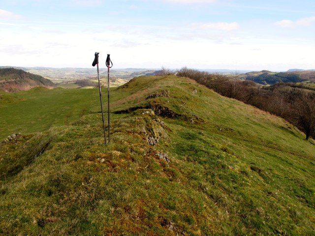
Image: © Rude Health Taken: 26 Feb 2012
From SE with a little bit of GOML after I had bagged the top. Farmer looked stress with a lot of work on even on a Sunday. I chatted to him for 10 minutes and left on good terms. Name: Gallt y Goedhwch Hill number: 5183 Height: 325m / 1066ft Area: 30E: Bala to Welshpool Class: Hu Grid ref: SJ 13713 15926 Summit feature: rocky outcrop Drop: 114m Col: 211m SJ111147
Images are licensed for reuse under creativecommons.org/licenses/by-sa/2.0
Image Location

Latitude
52.73437
Longitude
-3.278799