Disused railway junction
Introduction
The photograph on this page of Disused railway junction by Tim Glover as part of the Geograph project.
The Geograph project started in 2005 with the aim of publishing, organising and preserving representative images for every square kilometre of Great Britain, Ireland and the Isle of Man.

There are currently over 7.5m images from over 14,400 individuals and you can help contribute to the project by visiting https://www.geograph.org.uk
Disused railway junction
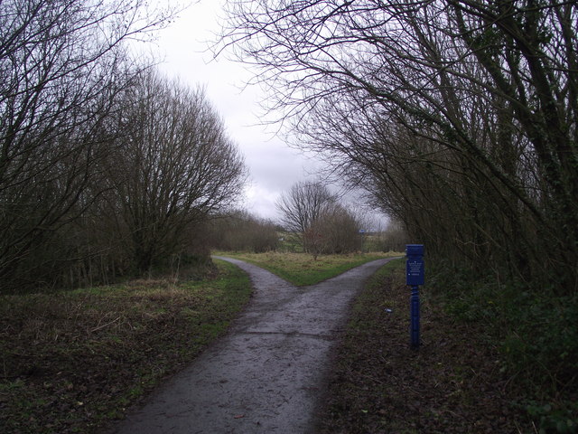
Image: © Tim Glover Taken: 31 Dec 2012
A disused railway junction provides a formation for cycle routes. The Whitehaven, Cleator and Egremont Railway headed off to the left while the formation to the right, now cycle route 71, was a branch to serve iron works in the Cleator Moor area.
Images are licensed for reuse under creativecommons.org/licenses/by-sa/2.0
Image Location
Latitude
54.517049
Longitude
-3.533474