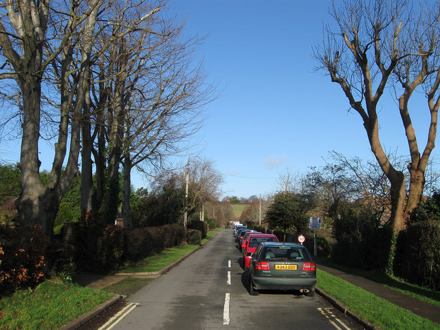
The Furlongs
Introduction
The photograph on this page of The Furlongs by Simon Carey as part of the Geograph project.
The Geograph project started in 2005 with the aim of publishing, organising and preserving representative images for every square kilometre of Great Britain, Ireland and the Isle of Man.
There are currently over 7.5m images from over 14,400 individuals and you can help contribute to the project by visiting https://www.geograph.org.uk

Image: © Simon Carey Taken: 1 Jan 2013
A residential road that lies between Deans Road and North Road. It was marked out as early as the last decade of the 19th century but development did not commence until the 1920s when many of the cottages on the eastern side was constructed. However, the western side was not completed until the 1970s.

