Queensbury Avenue, Wolds Estate
Introduction
The photograph on this page of Queensbury Avenue, Wolds Estate by Richard Vince as part of the Geograph project.
The Geograph project started in 2005 with the aim of publishing, organising and preserving representative images for every square kilometre of Great Britain, Ireland and the Isle of Man.

There are currently over 7.5m images from over 14,400 individuals and you can help contribute to the project by visiting https://www.geograph.org.uk
Queensbury Avenue, Wolds Estate
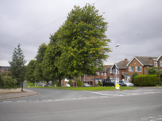
Image: © Richard Vince Taken: 1 Sep 2012
Despite not being one of Wolds Estate's main thoroughfares, Queensbury Avenue is a dual carriageway, whose central reservation is adorned with sizable trees as it descends from Greythorn Drive (foreground).
Images are licensed for reuse under creativecommons.org/licenses/by-sa/2.0
Image Location
Latitude
52.913672
Longitude
-1.145774