NE boundary of Alvington
Introduction
The photograph on this page of NE boundary of Alvington by Jaggery as part of the Geograph project.
The Geograph project started in 2005 with the aim of publishing, organising and preserving representative images for every square kilometre of Great Britain, Ireland and the Isle of Man.

There are currently over 7.5m images from over 14,400 individuals and you can help contribute to the project by visiting https://www.geograph.org.uk
NE boundary of Alvington
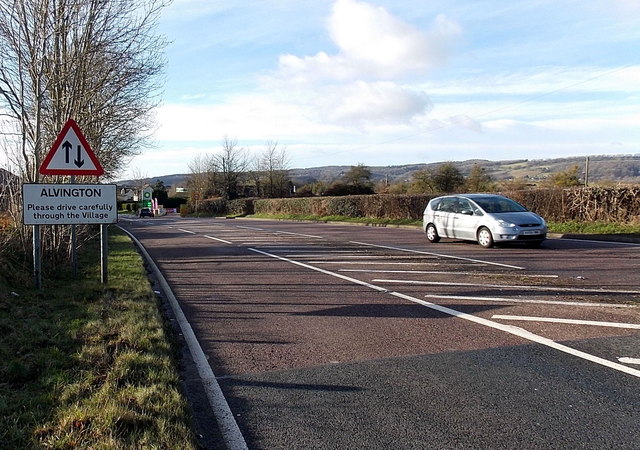
Image: © Jaggery Taken: 1 Jan 2013
The A48 from Lydney via Aylburton reaches Alvington, a small village in Gloucestershire. Alvington was part of Herefordshire in the late 11th century, but had become part of Gloucestershire by the early 13th century. A document dated 1327 records the population as 41. That small figure is very likely to have been greatly reduced by the Black Death two decades later. The current population is about 500.
Images are licensed for reuse under creativecommons.org/licenses/by-sa/2.0
Image Location
Latitude
51.706428
Longitude
-2.573031