Wibdon Fruit Farm
Introduction
The photograph on this page of Wibdon Fruit Farm by Jaggery as part of the Geograph project.
The Geograph project started in 2005 with the aim of publishing, organising and preserving representative images for every square kilometre of Great Britain, Ireland and the Isle of Man.

There are currently over 7.5m images from over 14,400 individuals and you can help contribute to the project by visiting https://www.geograph.org.uk
Wibdon Fruit Farm
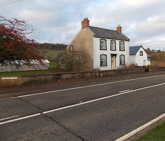
Image: © Jaggery Taken: 1 Jan 2013
Viewed across the A48 Gloucester Road. Rosemary Lane http://www.geograph.org.uk/photo/3278547 is a few metres beyond the left edge of the view.
Images are licensed for reuse under creativecommons.org/licenses/by-sa/2.0
Image Location
Latitude
51.673895
Longitude
-2.622946