Path by River Don at Boldon
Introduction
The photograph on this page of Path by River Don at Boldon by Chris Heaton as part of the Geograph project.
The Geograph project started in 2005 with the aim of publishing, organising and preserving representative images for every square kilometre of Great Britain, Ireland and the Isle of Man.

There are currently over 7.5m images from over 14,400 individuals and you can help contribute to the project by visiting https://www.geograph.org.uk
Path by River Don at Boldon
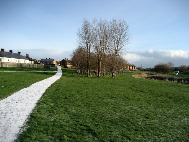
Image: © Chris Heaton Taken: 23 Jan 2007
Slight sprinkling of snow on the path. The River Don wends its way through a green corridor between West Boldon and New Town
Images are licensed for reuse under creativecommons.org/licenses/by-sa/2.0
Image Location
Latitude
54.947553
Longitude
-1.452927