Thorney Park and lane to Overtown
Introduction
The photograph on this page of Thorney Park and lane to Overtown by Vieve Forward as part of the Geograph project.
The Geograph project started in 2005 with the aim of publishing, organising and preserving representative images for every square kilometre of Great Britain, Ireland and the Isle of Man.

There are currently over 7.5m images from over 14,400 individuals and you can help contribute to the project by visiting https://www.geograph.org.uk
Thorney Park and lane to Overtown
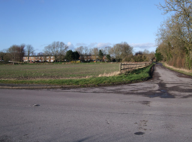
Image: © Vieve Forward Taken: 1 Jan 2013
Thorney Park is a former MoD housing estate built for service personnel working on the nearby Wroughton Airfield Image The estate now comprises of a mix of privately owned properties and social housing. Overtown, in contrast, is a tiny rural hamlet which includes farms and thatched cottages.
Images are licensed for reuse under creativecommons.org/licenses/by-sa/2.0
Image Location
Latitude
51.51125
Longitude
-1.779627