Southgate Arch
Introduction
The photograph on this page of Southgate Arch by Tony Atkin as part of the Geograph project.
The Geograph project started in 2005 with the aim of publishing, organising and preserving representative images for every square kilometre of Great Britain, Ireland and the Isle of Man.

There are currently over 7.5m images from over 14,400 individuals and you can help contribute to the project by visiting https://www.geograph.org.uk
Southgate Arch
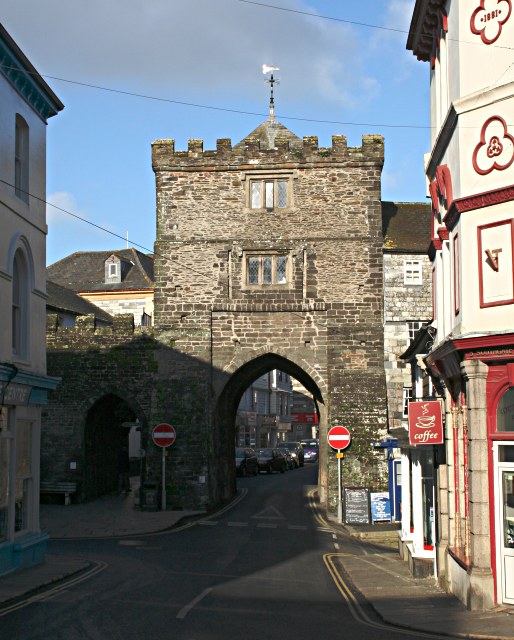
Image: © Tony Atkin Taken: 3 Feb 2007
Launceston was originally a walled town and this was one of the three gates into it. It has however been embellished over the years with the addition of two rooms above the arch just after the time of Henry VIII. The battlements on the top are a Victorian addition.
Images are licensed for reuse under creativecommons.org/licenses/by-sa/2.0
Image Location
Latitude
50.636264
Longitude
-4.360126