Harland Way, Wetherby
Introduction
The photograph on this page of Harland Way, Wetherby by E Gammie as part of the Geograph project.
The Geograph project started in 2005 with the aim of publishing, organising and preserving representative images for every square kilometre of Great Britain, Ireland and the Isle of Man.

There are currently over 7.5m images from over 14,400 individuals and you can help contribute to the project by visiting https://www.geograph.org.uk
Harland Way, Wetherby
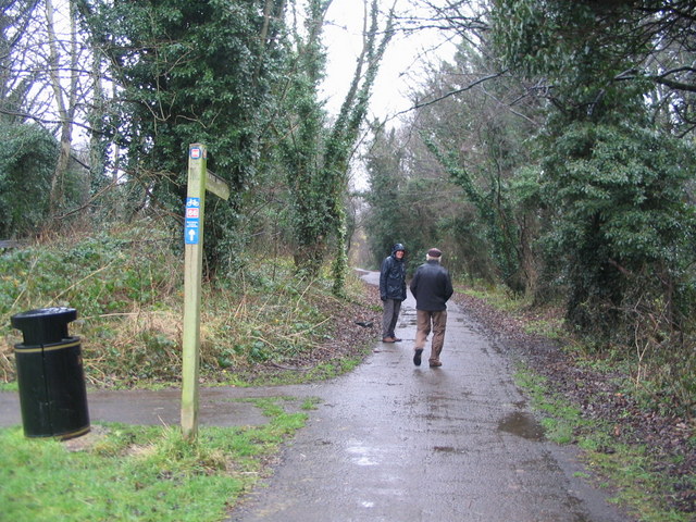
Image: © E Gammie Taken: 29 Dec 2012
The Harland Way is a foot and cycle path between Spofforth and Wetherby, following the route of a former railway line, which also forms part of National Cycle Route 66. At this point another former railway line, also used as a path, diverges to the left.
Images are licensed for reuse under creativecommons.org/licenses/by-sa/2.0
Image Location
Latitude
53.933931
Longitude
-1.385843