Footpath towards Goostrey
Introduction
The photograph on this page of Footpath towards Goostrey by Marcus Hargis as part of the Geograph project.
The Geograph project started in 2005 with the aim of publishing, organising and preserving representative images for every square kilometre of Great Britain, Ireland and the Isle of Man.

There are currently over 7.5m images from over 14,400 individuals and you can help contribute to the project by visiting https://www.geograph.org.uk
Footpath towards Goostrey
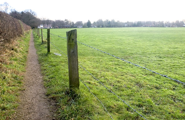
Image: © Marcus Hargis Taken: 2 Feb 2007
Taken from Brick Back Lane. A local told me, as I was taking this picture, that there used to be a brick kiln nearby which was used to make the bricks which built the houses in the area, including an 18th century cottage out of view but just behind where the image was taken.
Images are licensed for reuse under creativecommons.org/licenses/by-sa/2.0
Image Location
Latitude
53.230446
Longitude
-2.362483