The roads divide
Introduction
The photograph on this page of The roads divide by Anthony Vosper as part of the Geograph project.
The Geograph project started in 2005 with the aim of publishing, organising and preserving representative images for every square kilometre of Great Britain, Ireland and the Isle of Man.

There are currently over 7.5m images from over 14,400 individuals and you can help contribute to the project by visiting https://www.geograph.org.uk
The roads divide
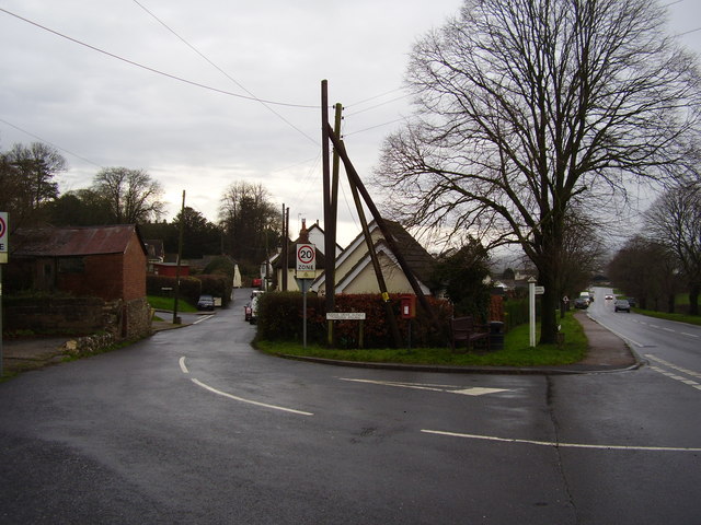
Image: © Anthony Vosper Taken: 22 Dec 2012
Marlborough Road being the main road. Whilst the smaller Axminster Road leads into the village centre.
Images are licensed for reuse under creativecommons.org/licenses/by-sa/2.0
Image Location
Latitude
50.74915
Longitude
-3.029735