Cathcart railway station
Introduction
The photograph on this page of Cathcart railway station by Thomas Nugent as part of the Geograph project.
The Geograph project started in 2005 with the aim of publishing, organising and preserving representative images for every square kilometre of Great Britain, Ireland and the Isle of Man.

There are currently over 7.5m images from over 14,400 individuals and you can help contribute to the project by visiting https://www.geograph.org.uk
Cathcart railway station
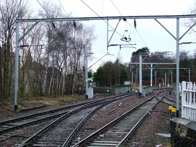
Image: © Thomas Nugent Taken: 29 Dec 2012
Points at the southwest end of the platform. The Cathcart Circle line curves round to the right, the line to Muirend and Neilston curves away to the left in the distance.
Images are licensed for reuse under creativecommons.org/licenses/by-sa/2.0
Image Location
Latitude
55.817192
Longitude
-4.261945