Prestwich, St Mary's Park
Introduction
The photograph on this page of Prestwich, St Mary's Park by David Dixon as part of the Geograph project.
The Geograph project started in 2005 with the aim of publishing, organising and preserving representative images for every square kilometre of Great Britain, Ireland and the Isle of Man.

There are currently over 7.5m images from over 14,400 individuals and you can help contribute to the project by visiting https://www.geograph.org.uk
Prestwich, St Mary's Park
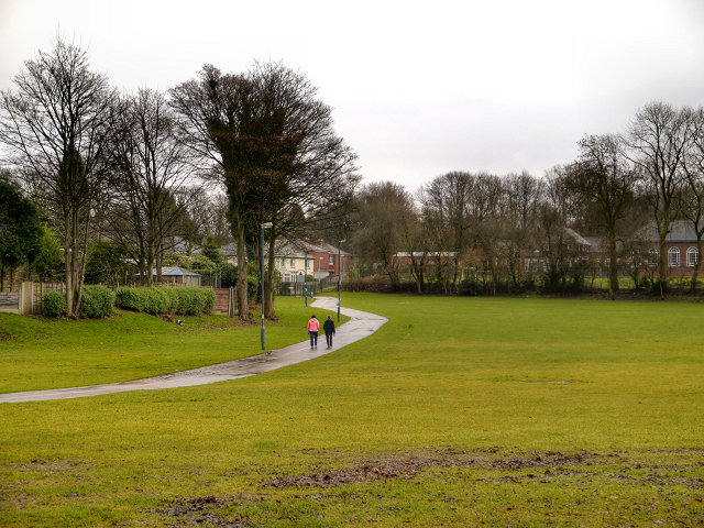
Image: © David Dixon Taken: 27 Dec 2012
St Mary's Park, near the centre of Prestwich, is divided into two parts, either side of Bury New Road. The formal side (on the western side of the A56, Bury New Road) is called "The Flower Park" (Image]). This photograph shows part of the playing field and urban park on the opposite side (http://www.bury.gov.uk/index.aspx?articleid=4792 Bury Council). St Mary's Park was officially opened in 1931, by the Earl of Derby. At that time, the park was known as St Mary's Playing Fields, and the Flower Park known as St Mary's Park. St Mary's Playing Fields was originally glebe land (land given to a clergyman) belonging to St Mary's Church, which was bought by Prestwich Urban Council for £100 in 1927 (http://www.bury.gov.uk/index.aspx?articleid=4292).
Images are licensed for reuse under creativecommons.org/licenses/by-sa/2.0
Image Location
Latitude
53.527838
Longitude
-2.277828