Ampere Way, looking east, Croydon
Introduction
The photograph on this page of Ampere Way, looking east, Croydon by P L Chadwick as part of the Geograph project.
The Geograph project started in 2005 with the aim of publishing, organising and preserving representative images for every square kilometre of Great Britain, Ireland and the Isle of Man.

There are currently over 7.5m images from over 14,400 individuals and you can help contribute to the project by visiting https://www.geograph.org.uk
Ampere Way, looking east, Croydon
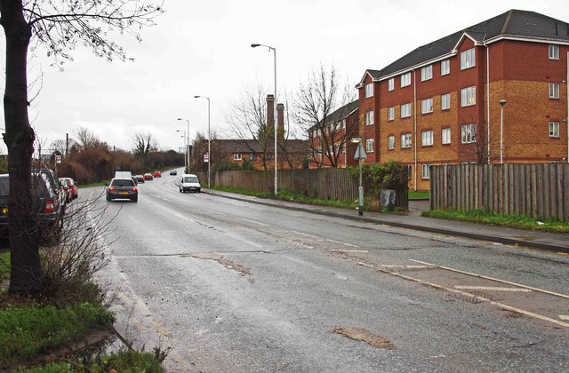
Image: © P L Chadwick Taken: 29 Dec 2012
Photographed from near Therapia Lane tramstop on the London Tramlink system.
Images are licensed for reuse under creativecommons.org/licenses/by-sa/2.0
Image Location
Latitude
51.384924
Longitude
-0.128042