Flooded gateway
Introduction
The photograph on this page of Flooded gateway by Richard Webb as part of the Geograph project.
The Geograph project started in 2005 with the aim of publishing, organising and preserving representative images for every square kilometre of Great Britain, Ireland and the Isle of Man.

There are currently over 7.5m images from over 14,400 individuals and you can help contribute to the project by visiting https://www.geograph.org.uk
Flooded gateway
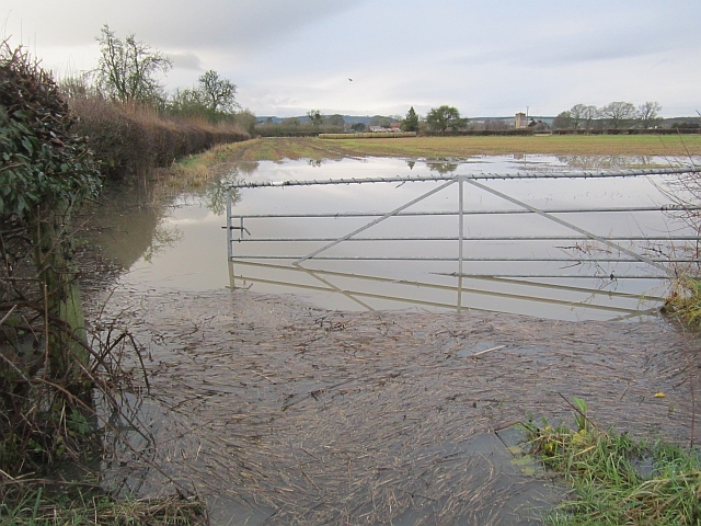
Image: © Richard Webb Taken: 24 Dec 2012
View through floods towards Kingsland at a time when much of the Arrow and Lugg floodplains were under water.
Images are licensed for reuse under creativecommons.org/licenses/by-sa/2.0
Image Location
Latitude
52.241917
Longitude
-2.805007