Heol-y-Garreglas houses, Llandeilo
Introduction
The photograph on this page of Heol-y-Garreglas houses, Llandeilo by Jaggery as part of the Geograph project.
The Geograph project started in 2005 with the aim of publishing, organising and preserving representative images for every square kilometre of Great Britain, Ireland and the Isle of Man.

There are currently over 7.5m images from over 14,400 individuals and you can help contribute to the project by visiting https://www.geograph.org.uk
Heol-y-Garreglas houses, Llandeilo
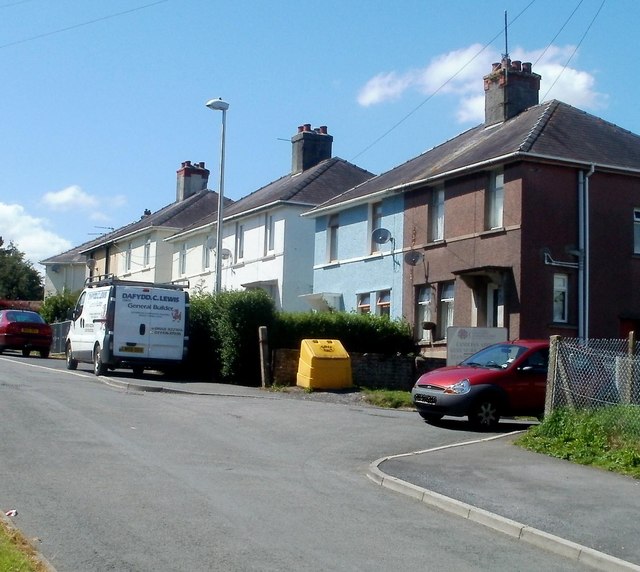
Image: © Jaggery Taken: 26 Jun 2011
The houses are near the entrance to Llandeilo Community Education Centre. http://www.geograph.org.uk/photo/3273616 The car on the right is parked in front of the centre's entrance gates.
Images are licensed for reuse under creativecommons.org/licenses/by-sa/2.0
Image Location
Latitude
51.886248
Longitude
-3.99187