Social housing, Kemble Road
Introduction
The photograph on this page of Social housing, Kemble Road by Jonathan Billinger as part of the Geograph project.
The Geograph project started in 2005 with the aim of publishing, organising and preserving representative images for every square kilometre of Great Britain, Ireland and the Isle of Man.

There are currently over 7.5m images from over 14,400 individuals and you can help contribute to the project by visiting https://www.geograph.org.uk
Social housing, Kemble Road
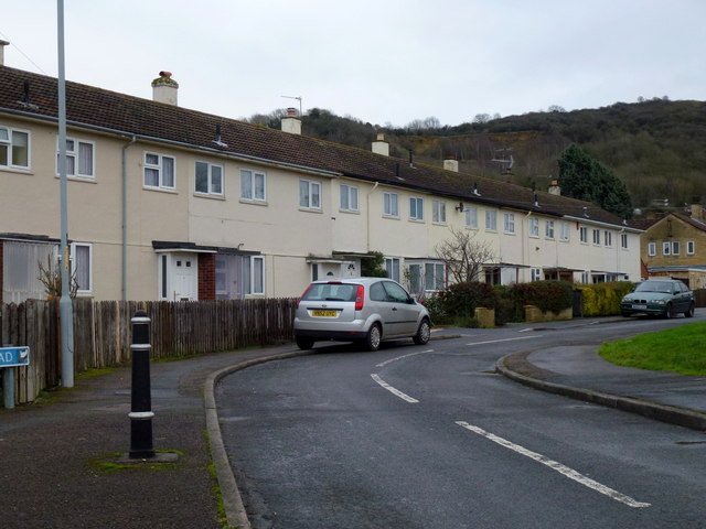
Image: © Jonathan Billinger Taken: 27 Dec 2012
The Gloucester suburb of Tuffley with Robin's Wood Hill beyond.
Images are licensed for reuse under creativecommons.org/licenses/by-sa/2.0
Image Location
Latitude
51.831106
Longitude
-2.246214