Holmesdale Road
Introduction
The photograph on this page of Holmesdale Road by Ian Capper as part of the Geograph project.
The Geograph project started in 2005 with the aim of publishing, organising and preserving representative images for every square kilometre of Great Britain, Ireland and the Isle of Man.

There are currently over 7.5m images from over 14,400 individuals and you can help contribute to the project by visiting https://www.geograph.org.uk
Holmesdale Road
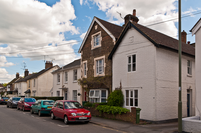
Image: © Ian Capper Taken: 12 May 2012
Victorian cottages in Holmesdale Road - the tall house in the centre has a date plaque of 1860 in the gable.
Images are licensed for reuse under creativecommons.org/licenses/by-sa/2.0
Image Location
Latitude
51.241636
Longitude
-0.200542