Mynydd Cefnamlwch Summit Stile
Introduction
The photograph on this page of Mynydd Cefnamlwch Summit Stile by Rude Health as part of the Geograph project.
The Geograph project started in 2005 with the aim of publishing, organising and preserving representative images for every square kilometre of Great Britain, Ireland and the Isle of Man.

There are currently over 7.5m images from over 14,400 individuals and you can help contribute to the project by visiting https://www.geograph.org.uk
Mynydd Cefnamlwch Summit Stile
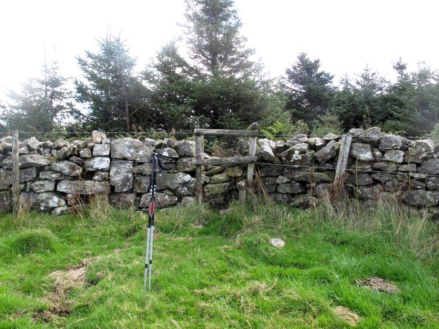
Image: © Rude Health Taken: 18 Sep 2012
Parked by gate at end of track/road. Easy walk up 2 fields then over old stile into jungle hiding a trig surrounded by ripe blackberries. It took a few minutes to clear flush bracket for a photo. Name: Mynydd Cefnamlwch Hill number: 7498 Height: 182m / 597ft Area: 30A: Anglesey and the Lleyn Peninsula Class: sHu Grid ref: SH 22657 33907 Summit feature: trig point Drop: 90m Col: 92m SH228327
Images are licensed for reuse under creativecommons.org/licenses/by-sa/2.0
Image Location


Leaflet Map data © OpenStreetMap
Latitude
52.873441
Longitude
-4.636581