Hadstock: a muddy footpath
Introduction
The photograph on this page of Hadstock: a muddy footpath by John Sutton as part of the Geograph project.
The Geograph project started in 2005 with the aim of publishing, organising and preserving representative images for every square kilometre of Great Britain, Ireland and the Isle of Man.

There are currently over 7.5m images from over 14,400 individuals and you can help contribute to the project by visiting https://www.geograph.org.uk
Hadstock: a muddy footpath
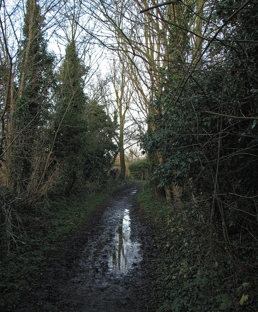
Image: © John Sutton Taken: 26 Dec 2012
Paths were claggy on Boxing Day after a wet run-up to Christmas in one of the wettest years on record.
Images are licensed for reuse under creativecommons.org/licenses/by-sa/2.0
Image Location
Latitude
52.079729
Longitude
0.276841