Trinity House Alms Houses
Introduction
The photograph on this page of Trinity House Alms Houses by Bikeboy as part of the Geograph project.
The Geograph project started in 2005 with the aim of publishing, organising and preserving representative images for every square kilometre of Great Britain, Ireland and the Isle of Man.

There are currently over 7.5m images from over 14,400 individuals and you can help contribute to the project by visiting https://www.geograph.org.uk
Trinity House Alms Houses
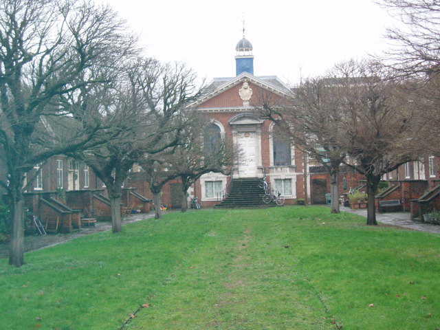
Image: © Bikeboy Taken: 24 Dec 2012
See http://spitalfieldslife.com/2011/04/20/a-renovation-at-trinity-green/ for an article on the renovation of the Alms Houses. See also http://www.geograph.org.uk/photo/3270366
Images are licensed for reuse under creativecommons.org/licenses/by-sa/2.0
Image Location
Latitude
51.52078
Longitude
-0.054872