Path in Overtoun Estate
Introduction
The photograph on this page of Path in Overtoun Estate by Lairich Rig as part of the Geograph project.
The Geograph project started in 2005 with the aim of publishing, organising and preserving representative images for every square kilometre of Great Britain, Ireland and the Isle of Man.

There are currently over 7.5m images from over 14,400 individuals and you can help contribute to the project by visiting https://www.geograph.org.uk
Path in Overtoun Estate
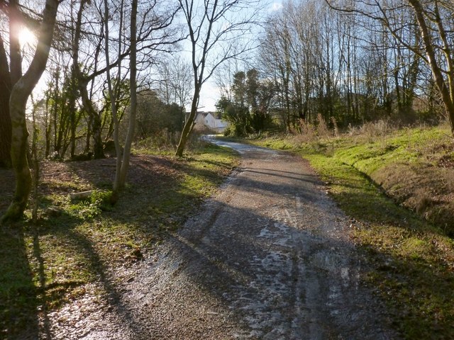
Image: © Lairich Rig Taken: 7 Dec 2012
Part of a driveway built in the late nineteenth century, this path leads to the gate shown in Image See Image for a view in the opposite direction.
Images are licensed for reuse under creativecommons.org/licenses/by-sa/2.0
Image Location
Latitude
55.950053
Longitude
-4.537351