Emscote-Saint Edith's House
Introduction
The photograph on this page of Emscote-Saint Edith's House by Ian Rob as part of the Geograph project.
The Geograph project started in 2005 with the aim of publishing, organising and preserving representative images for every square kilometre of Great Britain, Ireland and the Isle of Man.

There are currently over 7.5m images from over 14,400 individuals and you can help contribute to the project by visiting https://www.geograph.org.uk
Emscote-Saint Edith's House
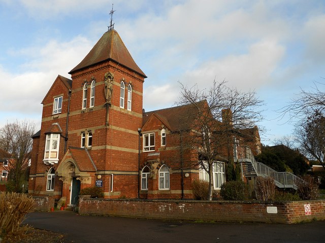
Image: © Ian Rob Taken: 16 Dec 2012
Stylish building which appears to be divided into flats.
Images are licensed for reuse under creativecommons.org/licenses/by-sa/2.0
Image Location
Latitude
52.288912
Longitude
-1.567025