Church building,Tighnabruaich
Introduction
The photograph on this page of Church building,Tighnabruaich by Richard Webb as part of the Geograph project.
The Geograph project started in 2005 with the aim of publishing, organising and preserving representative images for every square kilometre of Great Britain, Ireland and the Isle of Man.

There are currently over 7.5m images from over 14,400 individuals and you can help contribute to the project by visiting https://www.geograph.org.uk
Church building,Tighnabruaich
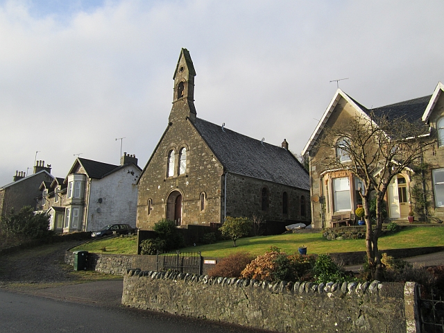
Image: © Richard Webb Taken: 16 Dec 2012
Not marked as a place of worship by the Ordnance Survey so probably a former church.
Images are licensed for reuse under creativecommons.org/licenses/by-sa/2.0
Image Location


Leaflet Map data © OpenStreetMap
Latitude
55.907427
Longitude
-5.232287