Bridleway and track through Hincks Plantation
Introduction
The photograph on this page of Bridleway and track through Hincks Plantation by Richard Law as part of the Geograph project.
The Geograph project started in 2005 with the aim of publishing, organising and preserving representative images for every square kilometre of Great Britain, Ireland and the Isle of Man.

There are currently over 7.5m images from over 14,400 individuals and you can help contribute to the project by visiting https://www.geograph.org.uk
Bridleway and track through Hincks Plantation
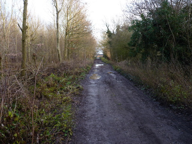
Image: © Richard Law Taken: 16 Dec 2012
The maps describe the whole area as Hincks Plantation, but signs on a couple of gates on the north side of the track suggest that the western part of it is known locally as Adeney Wood, and this eastern part is Tibberton Wood.
Images are licensed for reuse under creativecommons.org/licenses/by-sa/2.0
Image Location


Leaflet Map data © OpenStreetMap
Latitude
52.744482
Longitude
-2.443759