The new Hollas Lane Bridge
Introduction
The photograph on this page of The new Hollas Lane Bridge by Humphrey Bolton as part of the Geograph project.
The Geograph project started in 2005 with the aim of publishing, organising and preserving representative images for every square kilometre of Great Britain, Ireland and the Isle of Man.

There are currently over 7.5m images from over 14,400 individuals and you can help contribute to the project by visiting https://www.geograph.org.uk
The new Hollas Lane Bridge
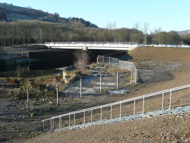
Image: © Humphrey Bolton Taken: 11 Dec 2012
Constructed to open former sewage works land for redevelopment. At present it is used as an overflow car park for the Lloyds Bank offices.
Images are licensed for reuse under creativecommons.org/licenses/by-sa/2.0
Image Location
Latitude
53.705535
Longitude
-1.885894