The Summitt Practice, Plashet
Introduction
The photograph on this page of The Summitt Practice, Plashet by David Anstiss as part of the Geograph project.
The Geograph project started in 2005 with the aim of publishing, organising and preserving representative images for every square kilometre of Great Britain, Ireland and the Isle of Man.

There are currently over 7.5m images from over 14,400 individuals and you can help contribute to the project by visiting https://www.geograph.org.uk
The Summitt Practice, Plashet
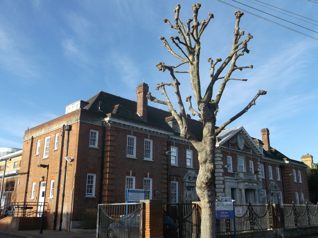
Image: © David Anstiss Taken: 16 Dec 2012
On Shrewsbury Road. This was East Ham Memorial Hospital. But other large hospitals have been built so de-grading this hospital to a doctors practice. A modern Care Centre has been built behind the practice building.
Images are licensed for reuse under creativecommons.org/licenses/by-sa/2.0
Image Location
Latitude
51.539967
Longitude
0.043718