Footbridge over the A82
Introduction
The photograph on this page of Footbridge over the A82 by Lairich Rig as part of the Geograph project.
The Geograph project started in 2005 with the aim of publishing, organising and preserving representative images for every square kilometre of Great Britain, Ireland and the Isle of Man.

There are currently over 7.5m images from over 14,400 individuals and you can help contribute to the project by visiting https://www.geograph.org.uk
Footbridge over the A82
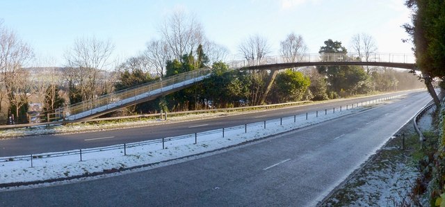
Image: © Lairich Rig Taken: 4 Dec 2012
For a view up the sloping section of the footbridge on the other side of the bypass (the A82), see Image In the present photograph, the escarpment of the Kilpatrick Hills (Image) is visible in the background, on the left.
Images are licensed for reuse under creativecommons.org/licenses/by-sa/2.0
Image Location
Latitude
55.96905
Longitude
-4.587636