West end of Meir tunnel A50 (during construction)
Introduction
The photograph on this page of West end of Meir tunnel A50 (during construction) by Chris Beaver as part of the Geograph project.
The Geograph project started in 2005 with the aim of publishing, organising and preserving representative images for every square kilometre of Great Britain, Ireland and the Isle of Man.

There are currently over 7.5m images from over 14,400 individuals and you can help contribute to the project by visiting https://www.geograph.org.uk
West end of Meir tunnel A50 (during construction)
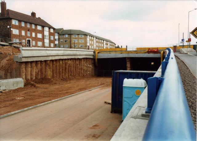
Image: © Chris Beaver Taken: Unknown
Probably taken during summer 1997. Fifteen years later (December 2012) they have just replaced the original sodium lighting inside the tunnels with ultra-modern and efficient LED units which must be far cheaper to run and therefore are much more environmentally friendly. Such is progress.
Images are licensed for reuse under creativecommons.org/licenses/by-sa/2.0
Image Location
Latitude
52.97809
Longitude
-2.105996