Pwllhai upper part of street
Introduction
The photograph on this page of Pwllhai upper part of street by chris whitehouse as part of the Geograph project.
The Geograph project started in 2005 with the aim of publishing, organising and preserving representative images for every square kilometre of Great Britain, Ireland and the Isle of Man.

There are currently over 7.5m images from over 14,400 individuals and you can help contribute to the project by visiting https://www.geograph.org.uk
Pwllhai upper part of street
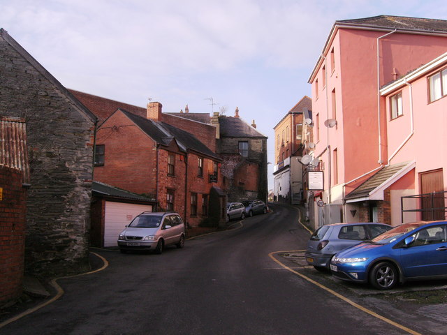
Image: © chris whitehouse Taken: 12 Dec 2012
Lined with old buildings of Cardigan, this is a one way street. The top of this street joins High Street and Pendre and College Row in a "crossroads".
Images are licensed for reuse under creativecommons.org/licenses/by-sa/2.0
Image Location


Leaflet Map data © OpenStreetMap
Latitude
52.083202
Longitude
-4.659938