Nottingham, NG15 - Westville, Hucknall
Introduction
The photograph on this page of Nottingham, NG15 - Westville, Hucknall by David Hallam-Jones as part of the Geograph project.
The Geograph project started in 2005 with the aim of publishing, organising and preserving representative images for every square kilometre of Great Britain, Ireland and the Isle of Man.

There are currently over 7.5m images from over 14,400 individuals and you can help contribute to the project by visiting https://www.geograph.org.uk
Nottingham, NG15 - Westville, Hucknall
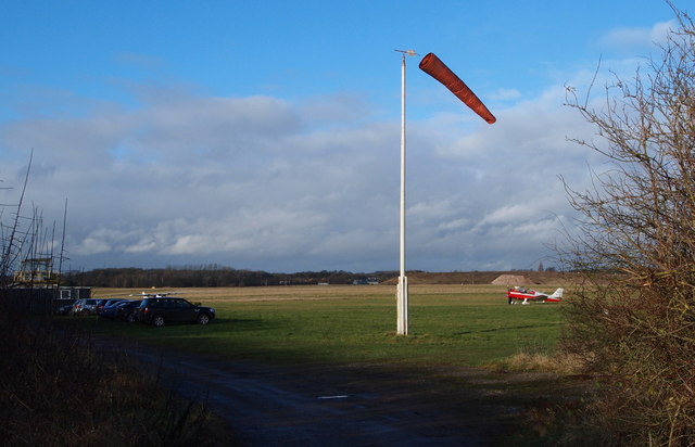
Image: © David Hallam-Jones Taken: 15 Dec 2012
Halfway along Blenheim Lane - a "No Through Road" - that is off Camberley Road (the A6002) there is a gated emergency entrance/exit in and out of Hucknall Aerodrome, the base of a private flying club and a Rolls Royce components manufacturing site with its main entrance on Watnall Road (the B6009), on the opposite side of the aerodrome. Approximately one third of the way up Blenheim Lane towards Bullwell-Woodhall Farm (sic), i.e behind the photographer, is the boundary separating the Ashfield and Nottingham Council administrative areas. The Robin Hood Way/Trail) between Nottingham and Edwinstowe also uses this stretch of Blenheim Lane.
Images are licensed for reuse under creativecommons.org/licenses/by-sa/2.0
Image Location
Latitude
53.011622
Longitude
-1.219111