Marsden Heights
Introduction
The photograph on this page of Marsden Heights by Rude Health as part of the Geograph project.
The Geograph project started in 2005 with the aim of publishing, organising and preserving representative images for every square kilometre of Great Britain, Ireland and the Isle of Man.

There are currently over 7.5m images from over 14,400 individuals and you can help contribute to the project by visiting https://www.geograph.org.uk
Marsden Heights
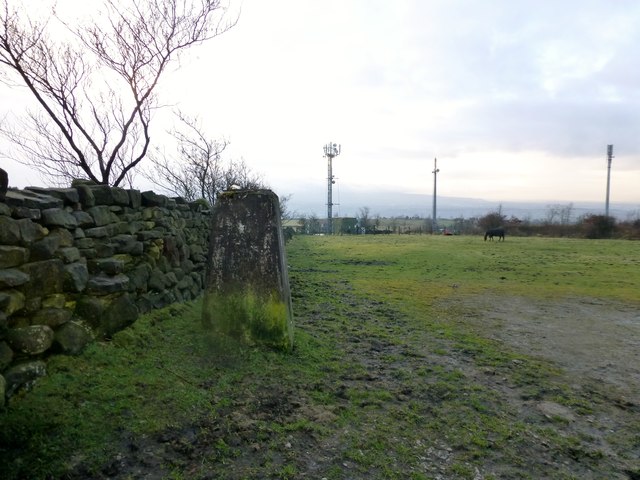
Image: © Rude Health Taken: 15 Dec 2012
Looking at the damaged trig and the masts on a dampish morning. A P40 hill bagged with Alex (trigging on an island) before Rob Woodall's 6,000th flush bracket party at the Sun Inn, Haggate.
Images are licensed for reuse under creativecommons.org/licenses/by-sa/2.0
Image Location
Latitude
53.820895
Longitude
-2.212776