The Edge of Poundbury
Introduction
The photograph on this page of The Edge of Poundbury by Des Blenkinsopp as part of the Geograph project.
The Geograph project started in 2005 with the aim of publishing, organising and preserving representative images for every square kilometre of Great Britain, Ireland and the Isle of Man.

There are currently over 7.5m images from over 14,400 individuals and you can help contribute to the project by visiting https://www.geograph.org.uk
The Edge of Poundbury
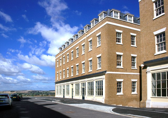
Image: © Des Blenkinsopp Taken: 30 Aug 2012
Poundbury is not yet finished. At the moment it does stop kind of suddenly and comments have been made that it looks like a movie set. That will inevitably change. The whole place is a huge experiment. I wonder what it'll be like in 50 year's time.
Images are licensed for reuse under creativecommons.org/licenses/by-sa/2.0
Image Location


Leaflet Map data © OpenStreetMap
Latitude
50.713988
Longitude
-2.471039