Ashton Canal, Ashton-Under-Lyne
Introduction
The photograph on this page of Ashton Canal, Ashton-Under-Lyne by David Dixon as part of the Geograph project.
The Geograph project started in 2005 with the aim of publishing, organising and preserving representative images for every square kilometre of Great Britain, Ireland and the Isle of Man.

There are currently over 7.5m images from over 14,400 individuals and you can help contribute to the project by visiting https://www.geograph.org.uk
Ashton Canal, Ashton-Under-Lyne
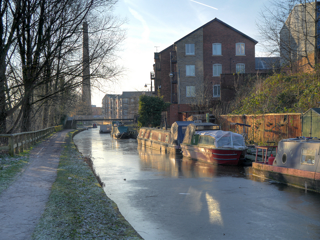
Image: © David Dixon Taken: 13 Dec 2012
Approaching Portland Basin from the east. The canalside apartments on the right hand side have been built on the site of the former Tudor Mill which ceased spinning cotton in the 1960s and was used as a warehouse until it was destroyed by a fire in 1970.
Images are licensed for reuse under creativecommons.org/licenses/by-sa/2.0
Image Location


Leaflet Map data © OpenStreetMap
Latitude
53.482728
Longitude
-2.099115