Footpath to Flint
Introduction
The photograph on this page of Footpath to Flint by John S Turner as part of the Geograph project.
The Geograph project started in 2005 with the aim of publishing, organising and preserving representative images for every square kilometre of Great Britain, Ireland and the Isle of Man.

There are currently over 7.5m images from over 14,400 individuals and you can help contribute to the project by visiting https://www.geograph.org.uk
Footpath to Flint
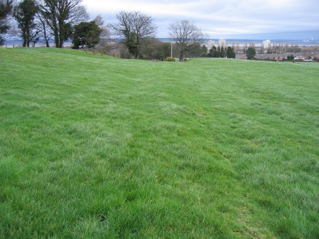
Image: © John S Turner Taken: 31 Jan 2007
Looking along what appears to be an old hedge line as the maps all seem to indicate woodland here to the left of the path. The footpath stile is to the left of the electricity pole and the field gate is to the right of it.
Images are licensed for reuse under creativecommons.org/licenses/by-sa/2.0
Image Location
Latitude
53.248586
Longitude
-3.155599