Coleford Ambulance Station
Introduction
The photograph on this page of Coleford Ambulance Station by Jaggery as part of the Geograph project.
The Geograph project started in 2005 with the aim of publishing, organising and preserving representative images for every square kilometre of Great Britain, Ireland and the Isle of Man.

There are currently over 7.5m images from over 14,400 individuals and you can help contribute to the project by visiting https://www.geograph.org.uk
Coleford Ambulance Station
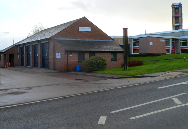
Image: © Jaggery Taken: 12 Dec 2011
Located on the east side of Cinder Hill, next to the fire station. http://www.geograph.org.uk/photo/3259187 The name shown on the building is Great Western Ambulance Service (a National Health Service trust formed in April 2006 from the merger of the Avon, Gloucestershire and Wiltshire ambulance services.)
Images are licensed for reuse under creativecommons.org/licenses/by-sa/2.0
Image Location
Latitude
51.791352
Longitude
-2.617024